Sankt Georgen bei Grieskirchen
You can help expand this article with text translated from the corresponding article in German. (November 2016) Click [show] for important translation instructions.
- View a machine-translated version of the German article.
- Machine translation, like DeepL or Google Translate, is a useful starting point for translations, but translators must revise errors as necessary and confirm that the translation is accurate, rather than simply copy-pasting machine-translated text into the English Wikipedia.
- Do not translate text that appears unreliable or low-quality. If possible, verify the text with references provided in the foreign-language article.
- You must provide copyright attribution in the edit summary accompanying your translation by providing an interlanguage link to the source of your translation. A model attribution edit summary is
Content in this edit is translated from the existing German Wikipedia article at [[:de:Sankt Georgen bei Grieskirchen]]; see its history for attribution. - You may also add the template
{{Translated|de|Sankt Georgen bei Grieskirchen}}to the talk page. - For more guidance, see Wikipedia:Translation.
Place in Upper Austria, Austria

Coat of arms
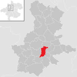
Location in the district
(2018-01-01)[2]
4710
Sankt Georgen bei Grieskirchen is a municipality in the district of Grieskirchen in the Austrian state of Upper Austria.
Geography
Sankt Georgen lies in the Hausruckviertel. About 14 percent of the municipality is forest, and 78 percent is farmland.
History
The municipality bears the coat of arms of its former lords, the Jörger von Tollet family.
References
Wikimedia Commons has media related to Sankt Georgen bei Grieskirchen.
- v
- t
- e
Municipalities in the district of Grieskirchen
- Aistersheim
- Bad Schallerbach
- Eschenau im Hausruckkreis
- Gallspach
- Gaspoltshofen
- Geboltskirchen
- Grieskirchen
- Haag am Hausruck
- Heiligenberg
- Hofkirchen an der Trattnach
- Kallham
- Kematen am Innbach
- Meggenhofen
- Michaelnbach
- Natternbach
- Neukirchen am Walde
- Neumarkt im Hausruckkreis
- Peuerbach
- Pollham
- Pötting
- Pram
- Rottenbach
- Sankt Agatha
- Sankt Georgen bei Grieskirchen
- Sankt Thomas
- Schlüßlberg
- Steegen
- Taufkirchen an der Trattnach
- Tollet
- Waizenkirchen
- Wallern an der Trattnach
- Weibern
- Wendling
Authority control databases | |
|---|---|
| International |
|
| National |
|
 | This Upper Austria location article is a stub. You can help Wikipedia by expanding it. |
- v
- t
- e


