Mount Rolleston
Mountain in New Zealand

Mount Rolleston
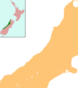
South Island, New Zealand
Mount Rolleston (2,271 m) is a prominent peak in Arthur's Pass National Park[1] in the South Island of New Zealand. It was named by the surveyor Arthur Dudley Dobson in 1864, who observed the peak while searching for a route through the Southern Alps to the West Coast gold fields. The name honours the then Superintendent of the Canterbury Province, William Rolleston.
While not the highest mountain in the National Park (Mount Murchison holds that honour), it is well known because it can be viewed from State Highway 73 that runs through Arthur's Pass to the West Coast of the South Island. It is also popular with climbers, as it can be climbed in a day starting from Arthur's Pass township. Mount Rolleston was first climbed in 1912 by climbers H. Thomson and J. Gilligan. Mount Rolleston can be climbed via several routes, including the Rome or Goldney Ridges,[2] the latter of which allows access to Otira Slide, which in winter can be descended by skis.
The upper slopes of Mount Rolleston are the headwaters of several rivers, most notably the Waimakariri and several tributaries of the Otira.
References
- v
- t
- e
Arthur's Pass National Park, New Zealand
- Mount Damfool
- Mount Franklin
- Mount Murchison
- Mount Rolleston
- Arthur's Pass
- Harper Pass
- Temple Basin
- Anti Crow River
- Bealey River
- Cox River
- Crow River
- Deception River
- Edwards River
- Hawdon River
- Mingha River
- Otehake River
- Ōtira River
- Poulter River
- Rolleston River
- Taipoiti River
- Taramakau River
- Waimakariri River
- White River
- Coast to Coast


