Innerschwand am Mondsee
Place in Upper Austria, Austria

Coat of arms
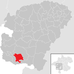
Location in the district
(2018-01-01)[2]
5311
Innerschwand am Mondsee is a municipality in the district of Vöcklabruck in the Austrian state of Upper Austria.
Population
| Year | Pop. | ±% |
|---|---|---|
| 1991 | 903 | — |
| 2001 | 1,050 | +16.3% |
References
- v
- t
- e
Municipalities in the district of Vöcklabruck
- Ampflwang im Hausruckwald
- Attersee am Attersee
- Attnang-Puchheim
- Atzbach
- Aurach am Hongar
- Berg im Attergau
- Desselbrunn
- Fornach
- Frankenburg am Hausruck
- Frankenmarkt
- Gampern
- Innerschwand am Mondsee
- Lenzing
- Manning
- Mondsee
- Neukirchen an der Vöckla
- Niederthalheim
- Nußdorf am Attersee
- Oberhofen am Irrsee
- Oberndorf bei Schwanenstadt
- Oberwang
- Ottnang am Hausruck
- Pfaffing
- Pilsbach
- Pitzenberg
- Pöndorf
- Puchkirchen am Trattberg
- Pühret
- Redleiten
- Redlham
- Regau
- Rüstorf
- Rutzenham
- Sankt Georgen im Attergau
- Sankt Lorenz
- Schlatt
- Schörfling am Attersee
- Schwanenstadt
- Seewalchen am Attersee
- Steinbach am Attersee
- Straß im Attergau
- Tiefgraben
- Timelkam
- Ungenach
- Unterach am Attersee
- Vöcklabruck
- Vöcklamarkt
- Weißenkirchen im Attergau
- Weyregg am Attersee
- Wolfsegg am Hausruck
- Zell am Moos
- Zell am Pettenfirst
Authority control databases | |
|---|---|
| International |
|
| National |
|
 | This Upper Austria location article is a stub. You can help Wikipedia by expanding it. |
- v
- t
- e


